Navigating through the Mount Rainier Backcountry with Scott Kranz
Scott Kranz is one of the world’s leading adventure photographers. His work has been featured in many publications as well as on Instagram. Below, Scott describes his latest backcountry skiing experience in Mount Rainer with fellow ambassador Mitch Pittman.
After a long stretch of stormy weather in the Pacific Northwest, a forecasted weather window called for a day of backcountry skiing in the Cascades. My friends and I set our sights on the Mount Rainier area, specifically the Tatoosh, a neighboring mountain range offering spectacular views of Rainier.
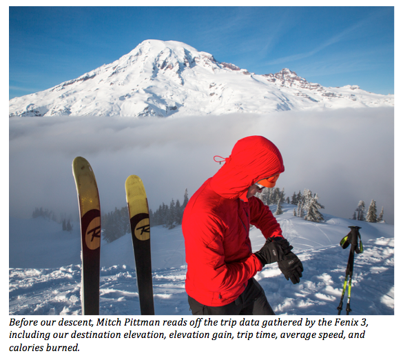
In hopes of a safe and successful trip, we packed the necessary gear for winter backcountry travel. On top of our avalanche gear (an avalanche beacon, probe, and shovel), we brought along tools for navigation, route finding, and data gathering, including the fenix 3.
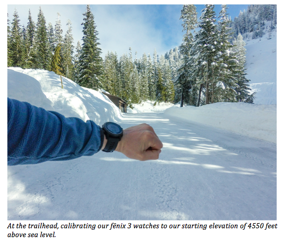
We entered the Mount Rainier area and parked at Narada Falls where we would start our journey. From the trailhead, we calibrated our GPS to 4,550 feet, our starting elevation, and started a new trip to track our route.
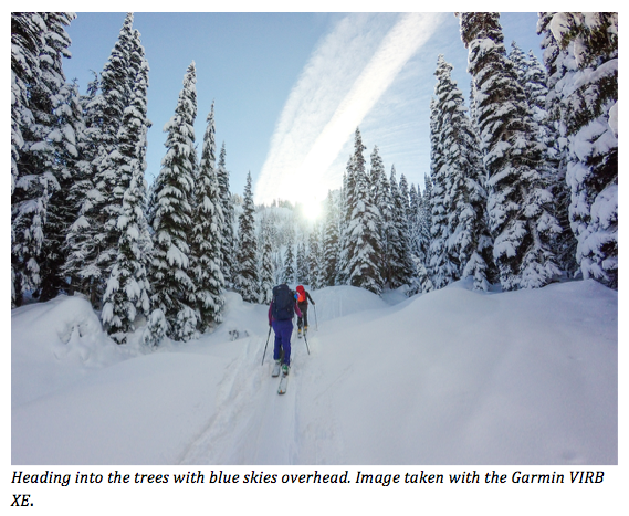
From Narada Falls, we toured to the meadows near Reflection Lake, which was completely frozen over and snow covered, and then headed south into the trees in the direction of the Tatoosh. At first, the weather looked promising with blue sky and sunshine.
Although the day’s avalanche forecast was “moderate,” we had sadly learned of multiple avalanche-related deaths across the United States in the week preceding our trip. That said, we proceeded into the backcountry with extra caution.
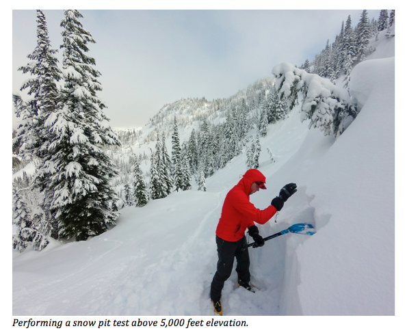
After touring above 5,000 feet of elevation, we decided to perform a pit test in a safe section of north-facing terrain, similar to what we would be skiing higher up. We identified the various snow layers – a top layer of powder above two older layers of rain crust – and also performed a pair of compressions tests. Overall, the snowpack assessment led to the decision to continue up on moderate slopes.
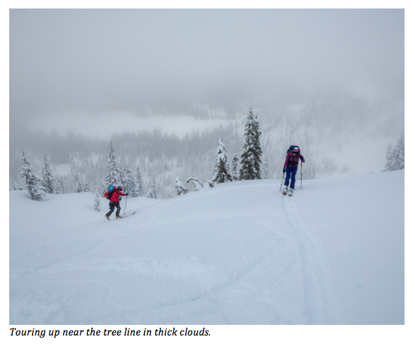
We proceeded upwards near the tree line. Suddenly, we found ourselves in thick clouds with little visibility. Our blue bird day was slipping away.
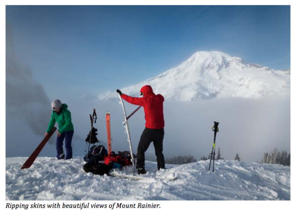
Undeterred, we continued up toward the ridgeline. When we reached the top, we luckily broke through the clouds. We could see Mount Rainier to the north hovering above the cloud layer, a beautiful sight. We ripped the skins off our skis and prepared for the ski down.
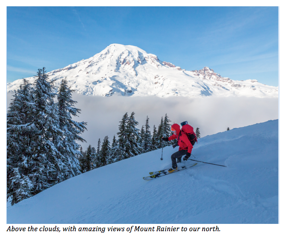
After soaking up the amazing views of Mount Rainier above the clouds, we started our descent, skiing down in some of the best powder we had ever experienced in the Pacific Northwest.
We enjoyed amazing powder skiing the entire way down and safely reached the meadows below. Skinning the final leg back to the trailhead, we were all on cloud nine, reflecting on what we had just experienced.
With the right preparation, decision-making, and navigation, we reached our destination and made it back home safely. Overall, it was an amazing day ski touring in the Mount Rainier backcountry.
Follow Scott's Adventures on his Website, Instagram, Facebook, and Twitter and remember to also share your outdoor stories and photos with us on Facebook, Twitter, Instagram by using hashtag #HaveNoLimits.
The post Navigating through the Mount Rainier Backcountry with Scott Kranz appeared first on Garmin Blog.
Sample Block Quote
Praesent vestibulum congue tellus at fringilla. Curabitur vitae semper sem, eu convallis est. Cras felis nunc commodo loremous convallis vitae interdum non nisl. Maecenas ac est sit amet augue pharetra convallis nec danos.
Sample Paragraph Text
Praesent vestibulum congue tellus at fringilla. Curabitur vitae semper sem, eu convallis est. Cras felis nunc commodo eu convallis vitae interdum non nisl. Maecenas ac est sit amet augue pharetra convallis nec danos dui.
Cras suscipit quam et turpis eleifend vitae malesuada magna congue. Damus id ullamcorper neque. Sed vitae mi a mi pretium aliquet ac sed elitos. Pellentesque nulla eros accumsan quis justo at tincidunt lobortis denimes loremous. Suspendisse vestibulum lectus in lectus volutpat, ut dapibus purus pulvinar. Vestibulum sit amet auctor ipsum.

